
Lecturer · Researcher · Software Engineer

Joseph Griffiths

BSc (Hons) · FHEA · PgCertHE

I'm a Computing lecturer at the University of South Wales, teaching C, C#, Python and PL/SQL, and running hands-on Windows Server labs. I research how UAVs can map and monitor the South Wales Coalfield. I also founded OrbitGeo, a UAV surveying company that's currently dormant while I focus on teaching and research.

C C# Python HTML CSS JavaScript SQL PL/SQL PowerShell Windows Server UAV Research
Portrait of Joseph Griffiths

About

Three roles, one obsession: understanding systems deeply

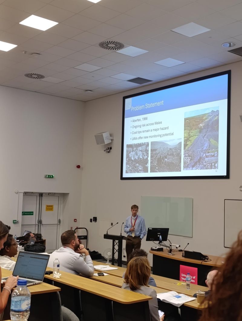
Joseph Griffiths speaking at a conference

Lecturer

For nearly 3 years I've taught Computing at the University of South Wales, covering C, C#, Python and PL/SQL, plus PowerShell scripting and a Windows Server module where I design and build networked systems - VMs, domain clients, and Linux clients integrated alongside them. I hold an FHEA and PgCertHE, and I contribute to outreach and recruitment, engaging local communities across South Wales.

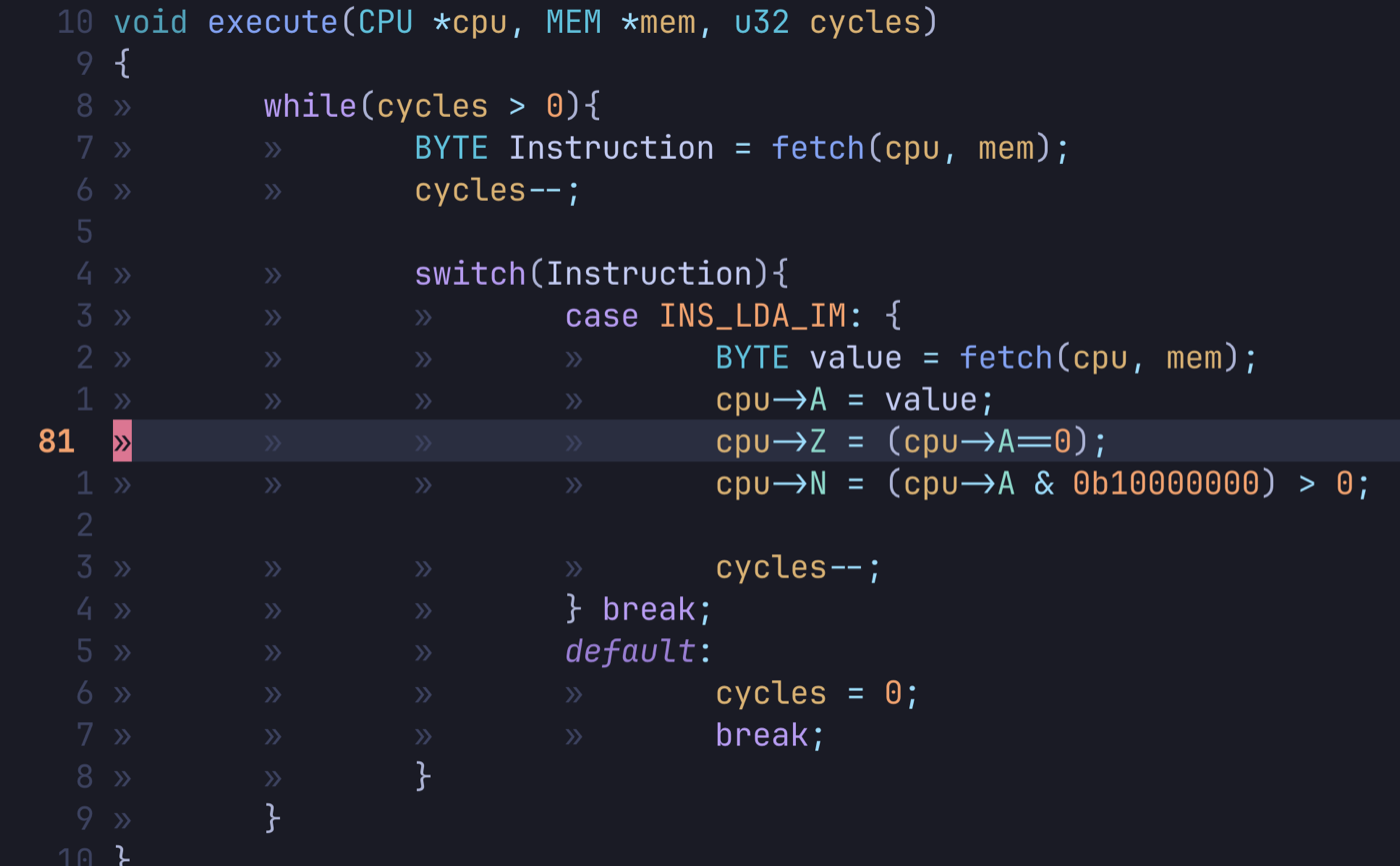
C source code for a 6502 CPU emulator's instruction loop, open in Neovim

Software Engineer

Alongside teaching and research, I develop software with a focus on systems programming in C. Recent projects include a lexer, a 6502 emulator and an HTTP server. Building these from the ground up strengthens my understanding of how computers work at a low level, and that experience feeds directly into my teaching.

Founder (Coming Soon)

I founded OrbitGeo, a South Wales UAV surveying company delivering GIS analysis for a range of industries. It's currently dormant, but something I'm passionate about returning to - putting my UAV expertise to work for local communities.

Research

Mapping the South Wales Coalfield with UAVs

Alongside teaching, I research how UAVs can be used to map and monitor coal tips across the South Wales Coalfield - work that feeds directly into land management and public safety decisions for former mining communities. It's the same interest in aerial survey and GIS analysis that drives OrbitGeo, and it sits at the centre of the outreach and community engagement work I take part in across South Wales.

Press & Publications

Featured research and outreach

Coverage of my research and outreach work at the University of South Wales.

Company

OrbitGeo (Coming Soon)

OrbitGeo is a South Wales UAV surveying company I founded, specialising in GIS analysis - turning aerial survey data into insight that supports better land management decisions. It's currently dormant, but something I aspire to build up in future, putting my UAV and GIS expertise to work for local communities in South Wales. Stay tuned for updates.

Hoovers, Merthyr Tydfil - a 3D model built from UAV survey imagery. Drag to orbit, scroll to zoom. View on Sketchfab →

Contact

Let's connect

Reach out about teaching, research, or content.